
May 2, 2007
Mt. Kitanglad was originally not on our itinerary for this Bukidnon trip. En route to Sumalsag Caves in Sumilao, Bukidnon, however, I was awestruck by the sight of the vast Kitanglad Mountain Range. Onin casually mentioned there’s an actual Mt. Kitanglad in that range and jokingly suggested we climb it the next day.
I instinctively said “yes!” not knowing what I was climbing into! “We travelled this far and we are here in Bukidnon already,” I said. “This might be an opportunity we might not have in the future!” I explained. “Okay ah!” Chris agreed. I was the newbie climber in the group and was quite doubtful of my climbing skills. “Kaya ba namin Mam Jo?” I asked Joan.
Joan, who’s from Bukidnon, and had previously summited Mt. Kitanglad several times already, said, “Kaya ah! Kayahon!” That was both reassuring and scary for me. I mean, gosh, what am I getting into?
Joan called her friends and made climbing permit arrangements during that same bus ride to the Sumalsag Caves jump-off. In all of my excitement, I almost forgot this Bukidnon trip is supposedly for caving and falls hopping only. We—me, Chris and Onin especially—only brought slippers, shorts, T-shirts and rain jackets. Yet we were climbing Mt. Kitanglad the next day! Onin scratched his head and regretted suggesting this climb!
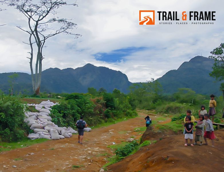
The Kitanglad Mountain Range dominates the north-central portion of the province of Bukidnon, Philippines. It occupies portions of eight of the municipalities and cities in the province such as Talakag, Baungon, Libona, Manolo Fortich, Impasugong, Lantapan and Malaybalay. The range is one of the few remaining rainforests in the Philippines, hosting one of the most important diverse species of rare and endemic wildlife such as the Philippine eagle. Three of its peaks—Mount Dulang-dulang, the highest at 2,941 m (9,649 ft); Mount Kitanglad at 2,899 meters; and Mount Maagnaw at 2,742 meters—belong to the Ten
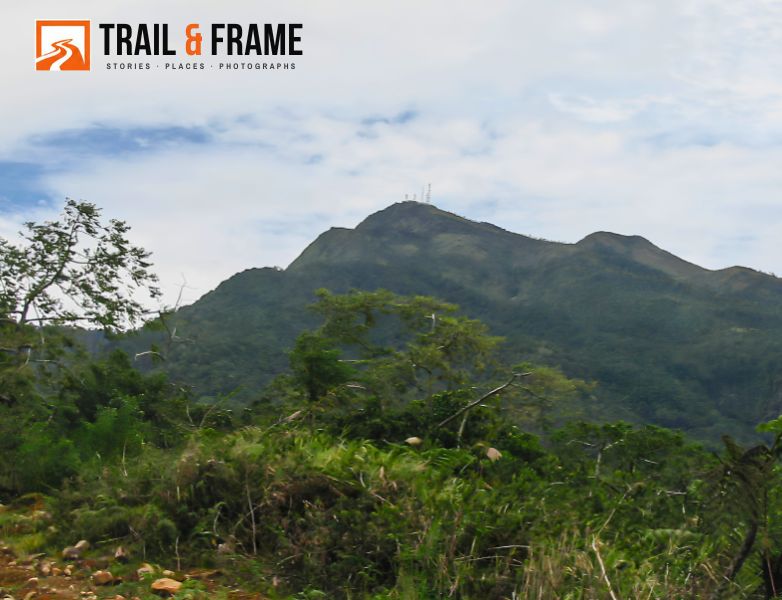
Mount Kitanglad is an inactive volcano located in the Kitanglad Mountain Range in Bukidnon province on Mindanao island. It is the fourth highest mountain in the Philippines and has an approximate height of 2,899 metres (9,511 ft). It is located between Malaybalay and the municipalities of Lantapan, Impasugong, Sumilao and Libona. It is home to one of the Philippines’ few remaining rainforests. It is part of the ancestral domain of the Higaonon, the Talaandig, and the Bukidnon people.
The name “kitanglad” was derived from a legend that there was once a great flood that submerged the native lands of Bukidnon and only the tip of the mountain, the size of a “tanglad” (lemon grass), remained visible (“kita” in Cebuano). Onin keeps joking about fictitious mountain names associated with vegetables and grasses.
Mao na naay bukid gihinganlan ug Kitanglad…. Kibatong, Kitalong – Onin
“Kibatong”—referring to string beans (“batong” in Cebuano)—or “Kitalong,” referring to eggplants. This guy is crazy funny I thought.
May 3, 2007
The majority of our fellow Sumalsag Cave spelunkers—Maribel, Jungkoy and Carlo—joined this Mt. Kitanglad climb. Pamboi was with another group of climbers who went ahead of us. Luckily for us, Joan, Jungkoy, Pamboi and Carlo previously summited Mt. Kitanglad. We relied on all their recommendations for this climb. We first bought a ritual offering (a chicken), food and supplies from the market, then hired a multicab to bring us to Brgy. La Fortuna, Sitio Intavas, Impasugong, the jump-off point for Mt. Kitanglad. There, we’d register, hire a porter-guide and perform the necessary tribal ritual for our climb.
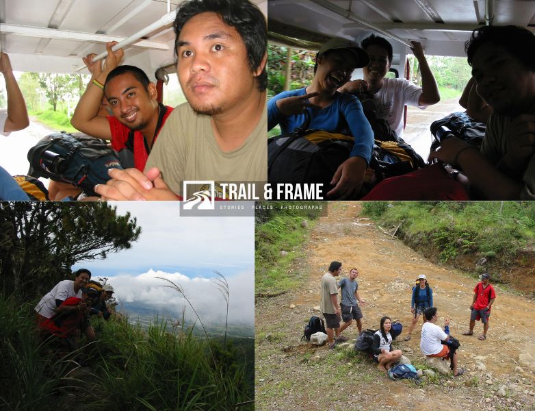
On the multicab, we made fun and jokes about our climbing decisions and previous spelunking experiences. I still couldn’t believe I was actually climbing Mt. Kitanglad.
The Brgy. Chairman and a kagawad met us at Brgy La Fortuna. The kagawad oriented us on the current rules and laws governing climbs to Mt. Kitanglad. Both he and the Brgy. Chairman were quite unhappy with the authorities’ lack of support for maintaining Mt. Kitanglad. We just listened, registered our names in the logbook, asked for a guide and then made a short solemn ritual asking for safe passage to Mt. Kitanglad. It was my first time seeing such climbing rituals, and I was struck by its solemnity and reverence of the tribes folk. I mean they actually hold rituals for this, for us. “Wow! And I have not even prayed yet to my own God! ” I mumbled. The chairman told us to go ahead and he’d find a guide who would catch up with us on the mountain. The guide caught up with us halfway to the summit. Again the fact that Joan, Junkoy and Carlo summited Kitanglad before was indeed a blessing.
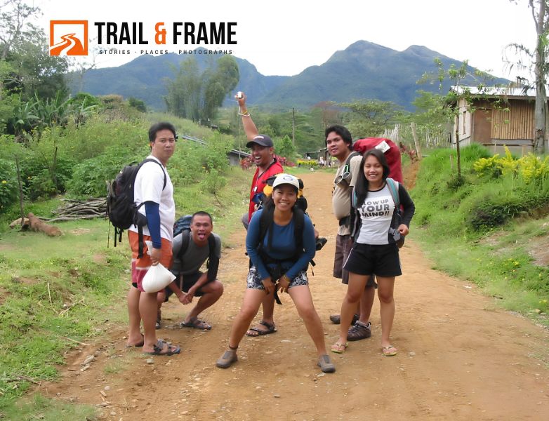
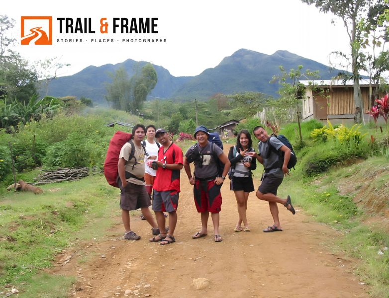
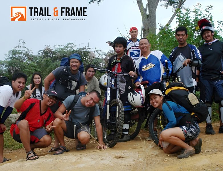
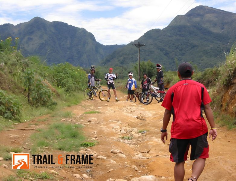
It was an hour-long hike along a vegetable-farm-flanked dirt road towards the foot of Mt. Kitanglad. It was an overcast sky, hence hiking was quite enjoyable and conversational. We even made jokes, teased the gleeful Maribel and Joan then randomly stopping by 2-3 farmer houses, chatting with kids along the way. Then, mountain bikers from Cagayan de Oro City went past us, maneuvering the same dirt road to and from the foot of Kitanglad. After chatting with these bikers, we posed for some photos with them. Another group of friends, I happily shouted! This is fun!!!
At the foot of Mt. Kitanglad, we were greeted by a large sign with a Philippine eagle drawn in the background, essentially saying “bring your trash outside of the protected area” and that it is “illegal to bring out any specimen from Mt. Kitanglad.” “Gosh! Why would people do that? I mean, take away endangered, endemic life from mountains?” I jokingly quipped, “And who’s catching a Philippine eagle, you said? I’m not, for sure!” These huge, carnivorous and magnificent eagles were eating our cousin monkeys for lunch, right? So, I’d be very happy just seeing or photographing these eagles if ever.
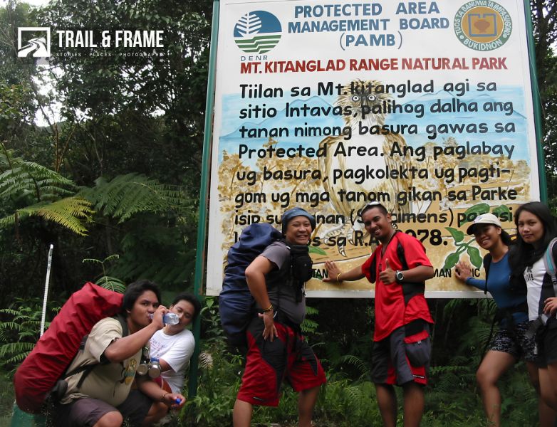
After resting and taking our photos in that signage, we continued hiking towards the forest edge of the trail. Joan joked that one doesn’t get lost on trail up Mt. Kitanglad. “Just follow the electrical transmission lines and you’ll definitely end up in the summit” she said. I can see electric cables and posts at some point, yes, but I didn’t get the joke until we reached the summit.
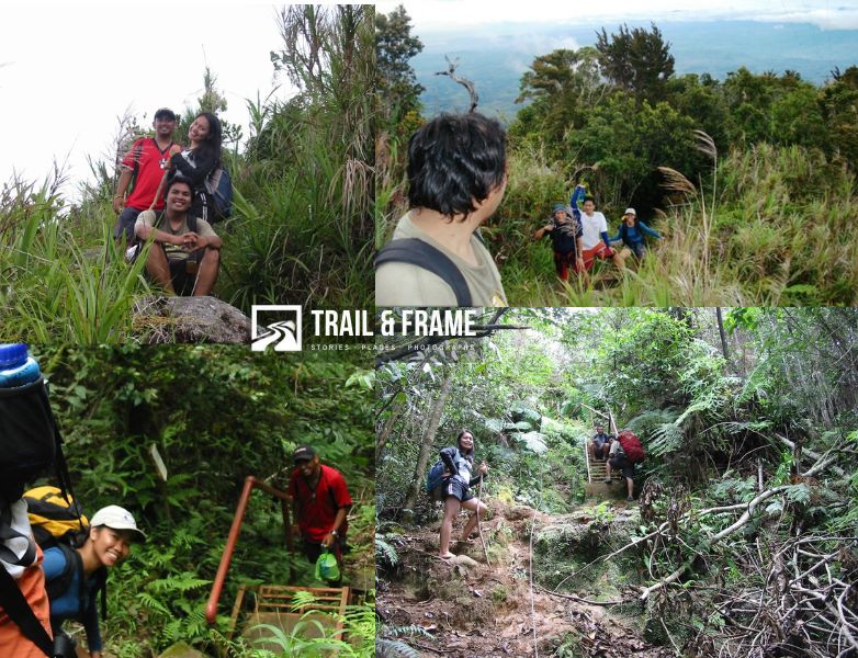
At the forest edge, we were met with what seemed to be steel ladders. A mountain with ladders? Who would do that? And why??! Although Joan told us about this way before, I still was in disbelief. Ladders are both reassuring and scary to me.
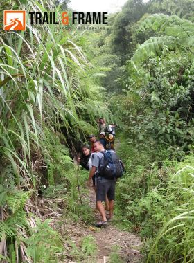
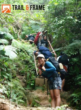
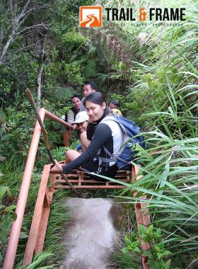
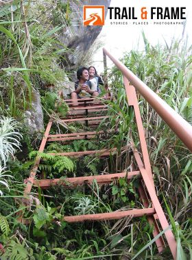
I never expected the steep, 60–80-degree climb to the summit of Mt. Kitanglad. I never summited a mountain this high before and that fear of heights subconsciously kicked in. So I was relieved at the sight of ladders- I counted 12 made of steel, and maybe 2-3, of bamboo, at various points along the trail. Still, I could feel my hands and legs shaking as I maneuvered these ladders, particularly when they were placed against a 90-degree wall! “These ladders were installed to help climbers and tower staff reach the summit,” Joan said. I was thinking- “tower staff” ?? What’s actually in the summit?
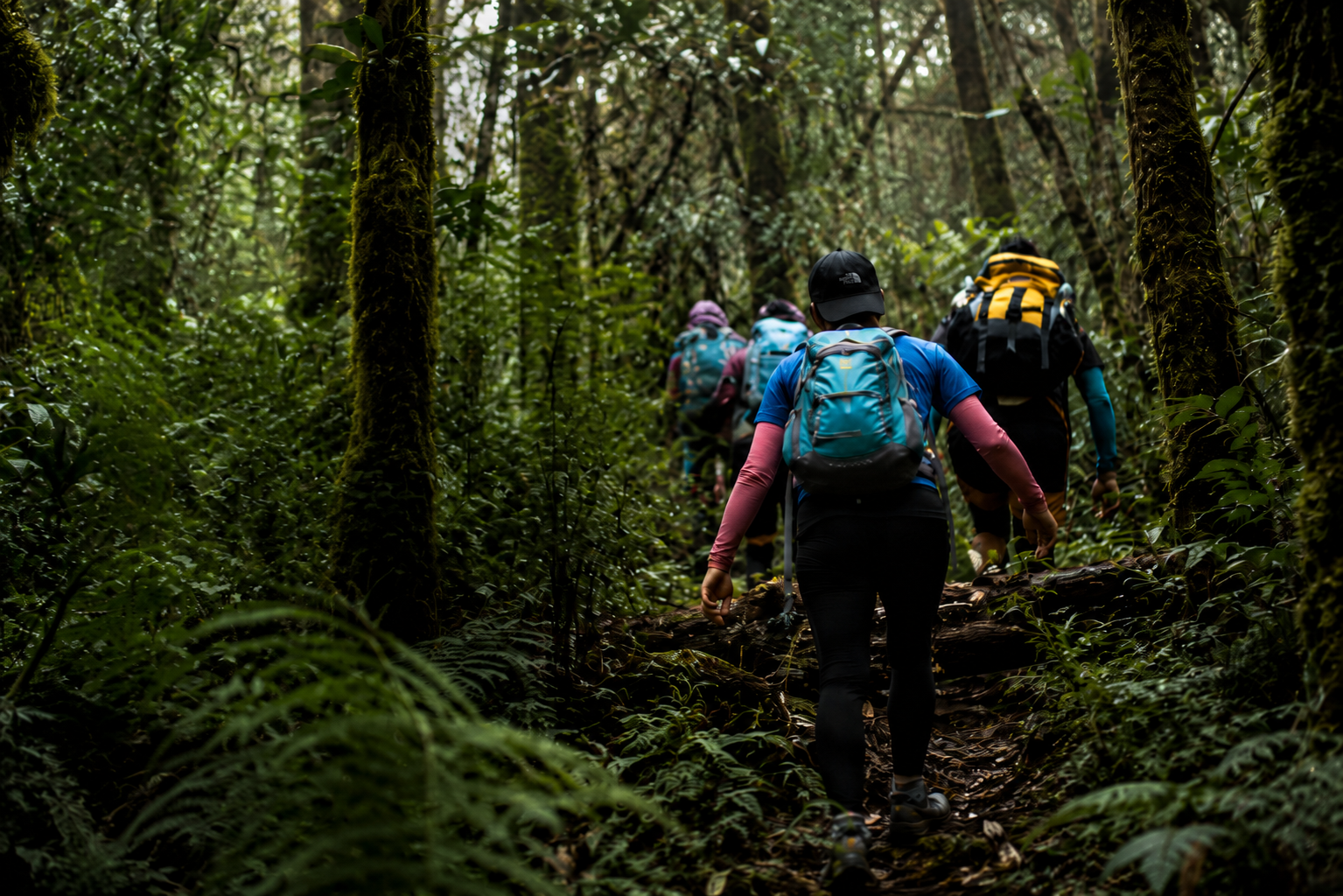
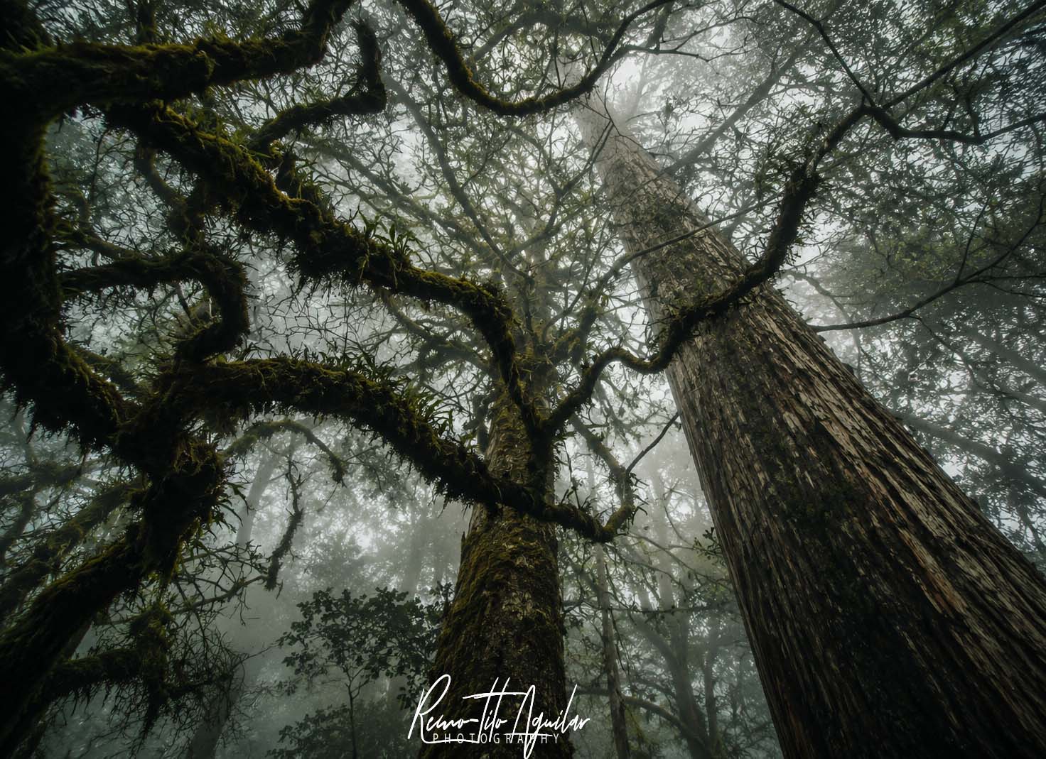
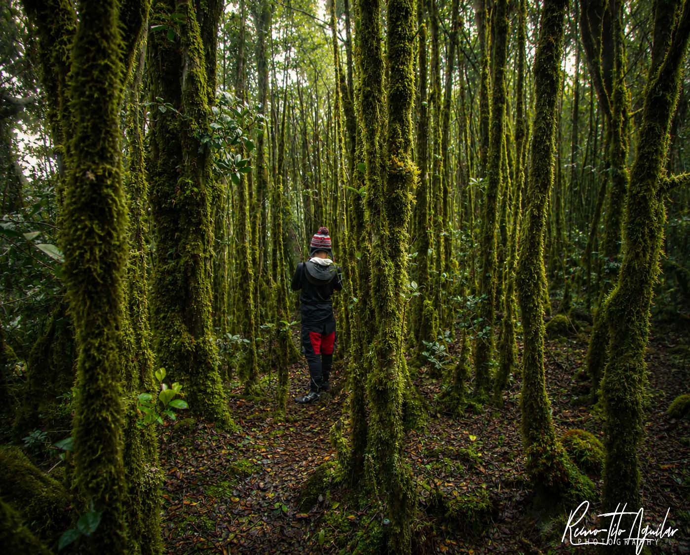
What I found unique about Mt. Kitanglad and its trails is the mossy forest and probably the rich biodiversity in it. Huge, maybe century-old trees cover the mountain in a network of canopies, with moss overhanging their branches throughout the foggy forest.
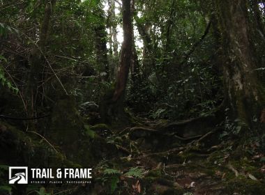
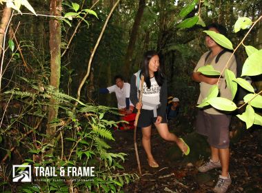
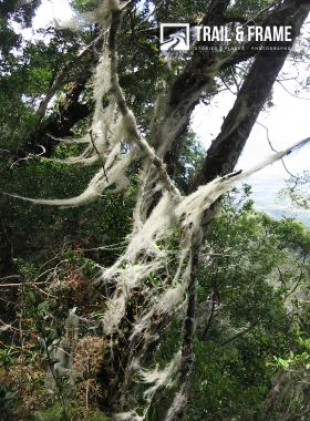
The trees? They have huge, visible, gyrating roots (air roots?)! Despite having been a biology major in college, this was all new to me. I hadn’t seen a mossy forest before, let alone some of its inhabitants! But I was busy climbing on all fours (extremities) and catching my breath; I barely had the energy to enjoy what seemed to be a very surreal forest.
In some parts, especially on slopes and cliffs, we had to traverse huge overhanging roots, covered with layers of dead leaves, without supporting soil underneath!! “What if your foot landed in those weak, unsupported holes?” “That’s why you hold on to whatever you can hold—shrubs, branches, rocks—when walking on those roots,” said somebody. This, together with the mostly vertical climb, made Mt. Kitanglad a challenging climb for me. “I hate falling off those ladders and slopes!” I complained.
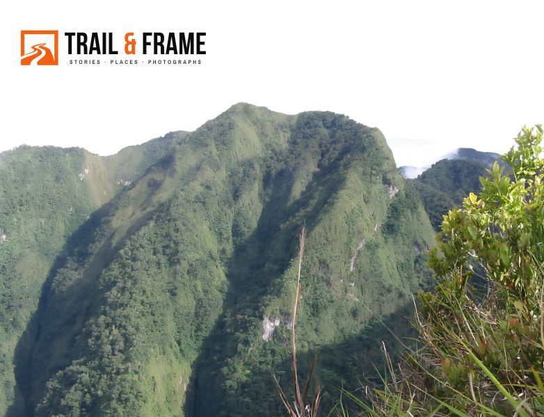
Yet, at a clearing where grasses and bonsai trees predominated, our Bukidnon friends kept pointing at various Kitanglad Mountain Range peaks, including Mt. Dulang Dulang—Philippines’ second-highest peak. Although I couldn’t distinctly identify which one was Dulang Dulang, it intrigued me and made me think of “possibly climbing” it next. “If I survived this climb!” I quipped laughing.
I think this is the kind of group I’d love climbing mountains with—fun, chill and relaxed. Not in a hurry it seems. Of course. Those verticals and ladders, plus the cold weather, made me want to slow down a bit. So, our group rested, ate, drank coffee and happily gossiped whenever we wanted to, oblivious to the fact that there were cliffs, slopes around and it was getting dark already. Thus, it was already dark when we reached the fog-covered summit, with me shivering in the cold winds! “Thank God! I (we) actually made it to the summit! How cool is that?!!!”
I was a bit surprised by what I saw atop Mt. Kitanglad—concrete bunkhouses and lots of steel towers! That confirms what Joan told us before. Telcos and TV networks with their huge communications bunkhouses and towers populate the summit of Mt. Kitanglad. The staff houses were small bungalows with tiled rooms and glass, steel-framed windows. And my cellphone signal went full bars! The mountain giving way to technology. How ironic!
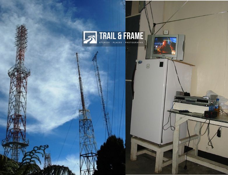
I wonder how they were able to bring everything up there and build these facilities. “Choppers?!” I asked Joan. “Some, but most of it was carried by porters from the foot of the mountain to here. It’s usual for regular climbers here to see porters carrying TV sets or refrigerators on their backs going up here.” “Wow! That must be quite heavy and tiring! Me? I’m carrying just 20+ liters of load up this mountain, catching my breath and dead tired already!” I unbelievingly sighed.
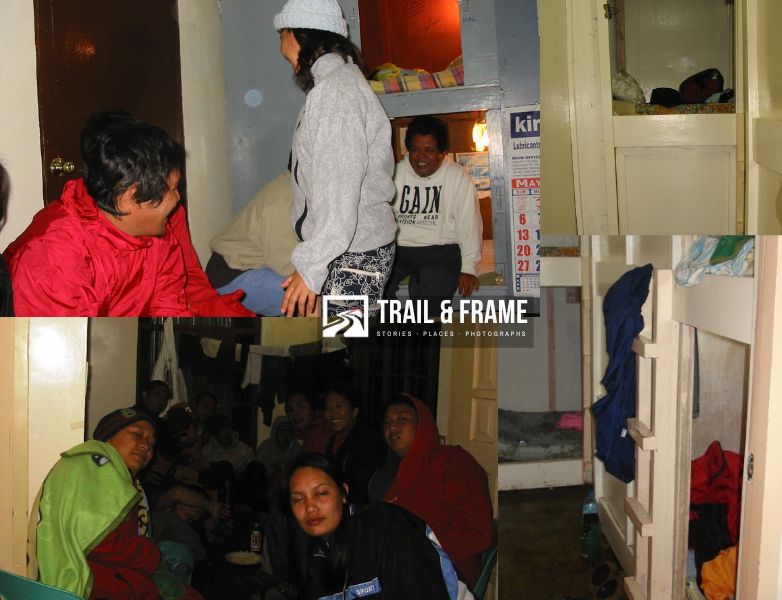
Pamboi’s group was inside the bunk house when we went in. Yes, there’s actually a summit, concrete bunk house for climbers in Mt. Kitanglad. Complete with a piped-in rainwater system, bunk beds, a kitchen, a toilet, a dining area and a stove heater! Pamboi was already boiling water for our coffee. It was chilly outside, so this was a happy welcome for me—a coffee-drinking session at such a high altitude! Of course a first for me, so “Thank you, Pamboi and friends!”
While we were resting and drinking coffee, Joan and Pamboi introduced everyone to one another. I don’t recall most of their names, but they seemed to be fun and happy to be with. Onin and everyone else threw jokes and conversations around. We stayed near the heater stove to keep us warm. I only wore slippers, a shirt, shorts and a thin rain jacket for this climb, so the stove’s heat was a glorious thing for me.
Pamboi then pointed us to our bunk beds. These were double-deck beds that have plywood sidings and a retractable in and out “windows” painted in all white. “Must be to warm you up against the cold! But can you breathe in there?” I innocently asked. Well, I found out later that you actually can, and that they warm you somewhat against the biting cold of the night. These boxed type capsule-beds reminded me of the stacked, box like burial sites in cemeteries. So it’s either you’re warmed up or you die of cold inside, and you’ll have a coffin and burial capsule already. Crazy me I guess.
Joan and Pamboi took charge of cooking dinner that night. It was a feast of pork sinigang, tocino and a whole lot of cooked canned goods to go with a tower of rice. It was a heavenly, happy dinner filled with banter, jokes and conversation among newfound friends. Again a first for me, to my bewildered amazement. Just the day before, I was both excited and doubting I could actually climb this mountain. Yet here we are, at the summit, eating a dinner feast with my equally crazy fun and adventurous friends. How cool is that?!!
After dinner, we roamed around the summit’s other mighty tenants: the TelCos and TV facilities. Name one and they all have towers and facilities here. Outside some facilities, we peeked at TV sets showing popular telenovelas- another first for me of course! TV and telenovelas at 9,000 + feet ASL! And I’m not even a TV or telenovela person!
When we went back to the bunk house, some climbers were already handing out Tanduay rhum (or some cocktail of sorts) shots around. I drank some to join the socialisation and fight off the cold. I thought alcohol should warm up my blood circulation a bit. “This should help me doze off later” I said.
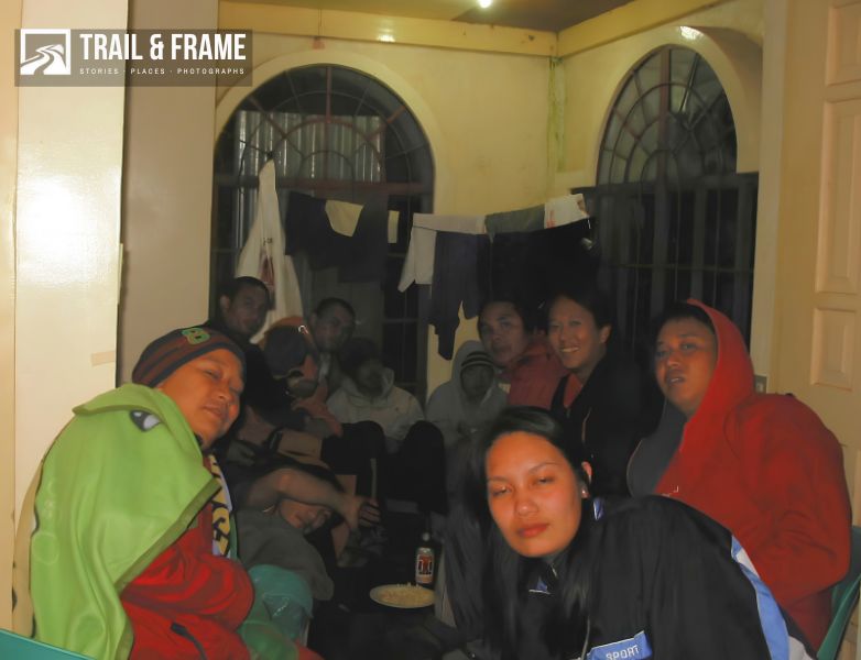
Onin continued with his “fastest Filipino jokes”. The once gleeful but shy young Maribel began throwing jokes and dancing around, as if the mountains (or alcohol, maybe) unlocked her carefree and gleeful personality.
“Oh wow! We were partying on top of the mountain!” To me, it was a celebration of our hard earned hike. A summit “conquered” indeed. Felt like the party never ended.
Only when the cold was unbearable (and Maribel sobered up) did we finally slide into our bunkers and tried to sleep. There I found how it is to be inside a boxlike, capsule resembling a coffin. It held off some of the worst cold I’ve experienced my whole life! Thankfully my sponge bob fleece was there to counter the cold breeze. It is really cold even inside that bunkbed capsule!!!
May 4, 2007
It was seven o’clock in the morning when I woke up. Must be the biting cold and alcohol! I was hoping to get the rumored terrific morning view at the Mt. Kitanglad summit. So I rushed outside to get a glimpse of what was left of the morning sunrise.
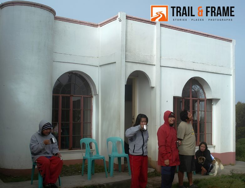
Around the bunkhouse was a grassy clearing some 5–10 meters wide. Then it gradually sloped down the sides of Mt. Kitanglad, where high-montane (bonsai?) trees grew. Fog periodically capped this clearing and the trees, so visibility was limited at that time. I saw some of my friends sitting on the grass and others waiting for sunrise. I went back inside the bunk house and got my coffee. Then I went back outside hoping I’d get clearer views of the summit.
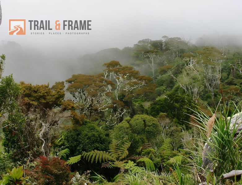
Suddenly, a bird flew past in front of me and landed on a tree branch about 10 meters away. Some trees were more visible than others this time, but I saw the greyish brown, with white chested small bird from my vantage point. “Oh wow!” Was it some endemic bird really? I asked myself.”Could be a maya” the avian ignorant idiot in me surmised. I dismissed the sight as ordinary since I’ve seen a lot of birds of the same color and size in our place doing the same.
Later I realized this was a big mistake on my part and felt sorry I didn’t take any pictures. I am so ignorant! Imagine you were at 9,000+ feet ASL and there’s no ordinary bird ( let alone a maya, ugh! ) would live that high! I couldn’t clearly see the bird and I doubted my camera could. Still, it was a missed opportunity and I could have just observed with a curious eye on the bird and research it’s possible identity after. I knocked my own stupid head. “I’m going back to this mountain with a better attitude…” I promised myself.
We sat around the table and ate breakfast, thanks to our chefs that morning- Joan and Pamboi. We helped wash dishes, cleaned the bunk house and restored everything to how it looked when we arrived there—orderly. Then we strolled around the summit, going into the Telco facilities, and had our photos taken with the staff there, the people we were with, the summit structures (bonsai trees, lots of shrubs, berries) and everything else we deemed memory-worthy.
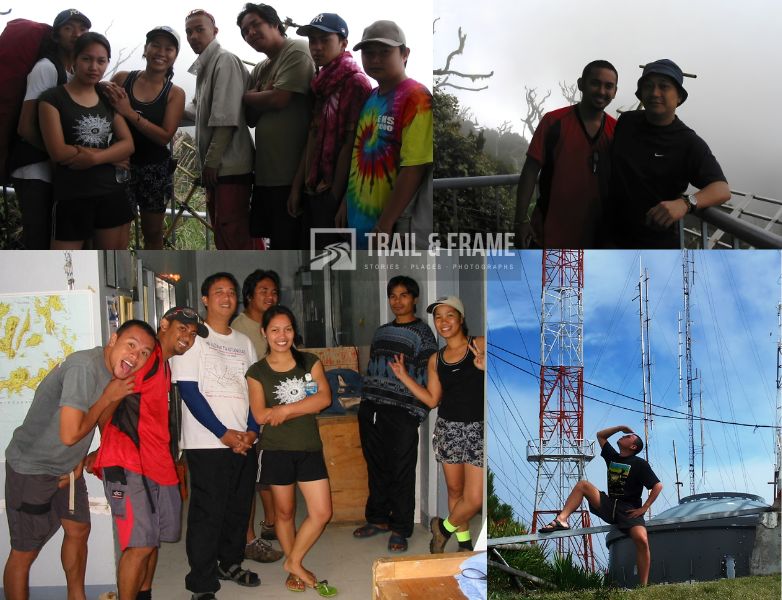
Then came the repeated group shots of this wonderful, amazing fun and crazy adventurers. I am saddened at the thought that this amazing and fun climb will soon end. But I am happy too because this equally tiresome hike for a newbie like me is ending. Or so I thought.
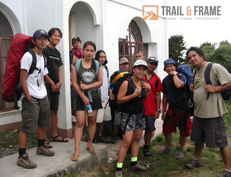
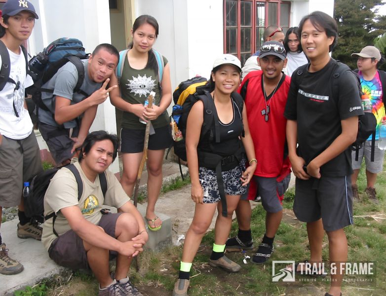
The back trail hike was all downhill from there. I was celebrating that I didn’t have to exert that much effort lifting my lower extremities downhill, but was horrified to find it was much harder to hold down your foot firmly to ground than going uphill. My knees complained. So did my toes. I was overweight.
“F*ck!! This hurt!
Fast hiking downhill is much harder on my lower extremities. This is even harder near cliffs and slopes. My fear of heights kicked in. I slowed down a lot, coming to a full stop at some points. Onin and Chris complained the same.
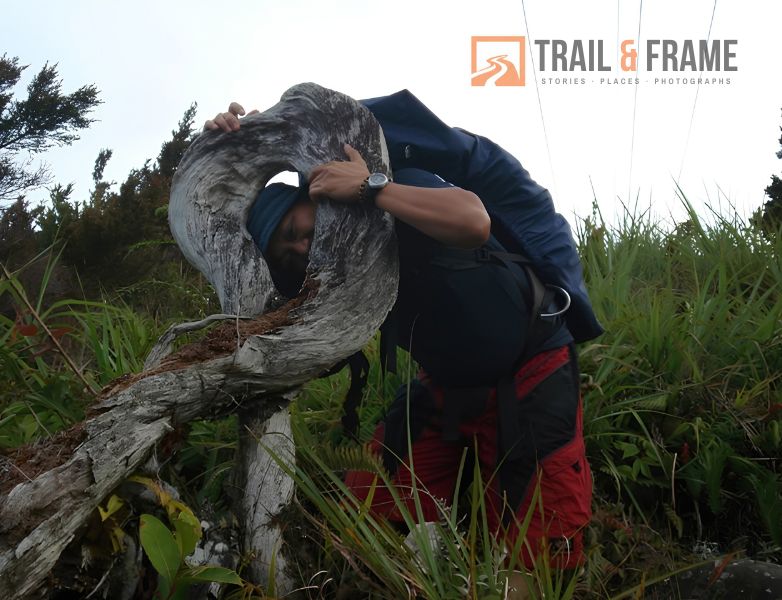
So I used these stops to observe our trail and the forest. Near the summit, there was this obvious “twisted” or “looped” tree trunk where you could insert your face into the twisted portion. I did not notice that tree on our way up, maybe because it was dark or I was too tired to care. Either way, “Click!” and I had my photo taken. I also could see the mossy forest now, the airy roots and trail heads. “Man, was I that tired yesterday?”
My ears were also more attuned to bird calls and forest sounds, thanks to that missed summit bird I dismissed. These birds were like ‘cooing’ at the idiot me. Hahah! Not one showed up for me, of course. Or I was too avian ignorant to see one. “Crap me!”
Again, my climbing companions kept pointing at and posing with the outline of Mt. Dulang Dulang. I could hardly identify which exactly is the D2 peak, but I took tons of photos of it.
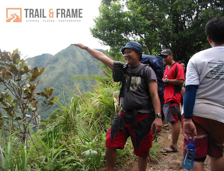
This intrigued me more, and the thought of climbing it soon got even louder. ” No, not today, not this trip though, you *ss! “. My knees and body complained.
I also discovered I feared the ladders going down more than going up. Was it the feeling of falling again? Of heights? My legs wobbled and my rail grips tightened whenever I hiked down a ladder. “A climber who is afraid of heights? Of falling?. I’m dumbfounded at the possibility. Luckily, I survived those ladders without slipping or falling.
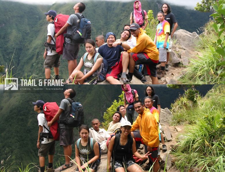
By noon, we were at the foot of the mountain where the signage was. “See, no eagle nor any specimens for me?!” We ate our packed lunch and rested for a while, taking group photos and everything else my camera could focus on. Perhaps I was just happy the hardest part of the hike was all behind us now and I’m running behind with my memory-making photos.
We hiked from the foot of Kitanglad towards the barangay center and bade our courteous goodbye to the kagawad, who welcomed us back with his usual punchlines against some authorities. There were no jeeps or multicabs going out of La Fortuna at that time, but we chanced upon and hitched a ride on the back of a vegetable-hauling truck heading toward the highway.
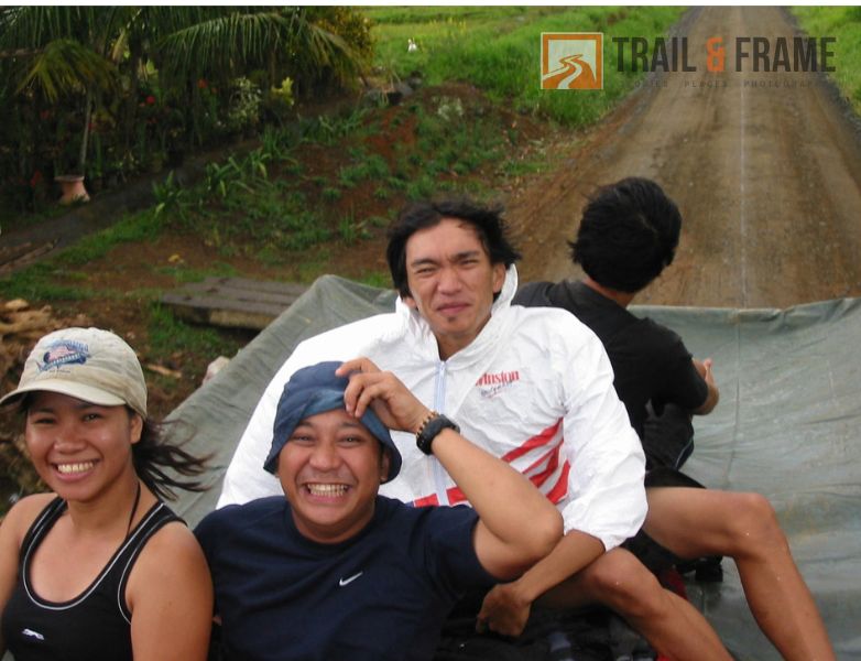
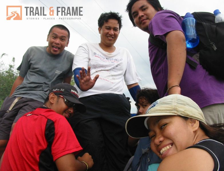
There we rode a jeep towards Gantungan Falls where we would wash off our dirty selves and enjoy some more with our friends. But that is another story.
Looking back, I never regretted our decision to climb Mt. Kitanglad on short notice. The people I’m with, the mountain, the people there, the journey and experience, man it was all worth the risks. We were with our ‘hard core’ climbing friends from Bukidnon, who had previously summited Mt. Kitanglad. What better climbing risk-mitigation strategy could there be? This was a huge, amazingly wow climb experience for me. New friends and buddies! What more should I ask???
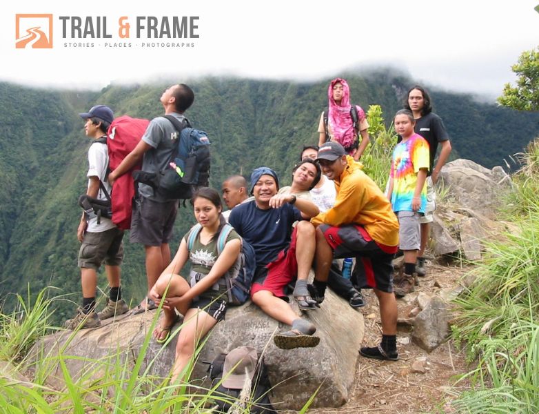
Well, there’s Mt. Dulang Dulang. On the truck and jeep, we were actually planning a Dulang-Kitanglad traverse this August. Hope this materializes!
[ Some photos here are from Chris Bautista. Thank you Chris!]




how was it? im climbing this saturday, can you give me tips? what to bring, what to do? 😀
@mikki
Where you climbing? Have several blogticles here dealing with climbing preparations. Also, the bundok website is very helpful in orienting beginners in climbing. read on
nice! i want to climb too! 🙂 kaya lang, haha, i’m a bit scared, lampa kasi! haha
been there in kitanglad twice and its really nice..keep on climbing..break a leg…(-.-)…wish i could climb here again and also mt.apo wait for me…
@alikoy
the “want” to climb is not enough. You have to climb to enjoy it. Haven’t you noticed I keep saying in my blog I am afraid of heights and and the dark caves. But I still go on climbing and spelunking. And I’m lampa too!
@marilyn
We will be glad if you could join us in one of our climbs. We are actually preparing to climb Mt. Matutum this Sat-Sun.In form me if you wanna join us…Bukidnon is a terrific place for nature lovers. I’m sure be back to climb Kitanglad and Dulang soon I hope, before I break my legs climbing.
i would love to but my sched is so busyy..maybe next time..anyways onin is one of our buddies during my 2nd climb at kitanglad..goodluck in your Mt.matatum trekking..
check my blog marilyndams.wordpress.com….
The (in)famous Onin. Always in cahoots with us in all our climbs! I’m now reading your blog.
hey hi!
I read your blog on the mt kitanglad climb and it’s absolutely gorgeous! i want to do the same climb this november and wanted to know who to contact for it. If you can help me, i’d soooo appreciate it.
thanks!
marly
I have friends climbers and contacts who can help you reach your climbing dreams. email me if your sure na of going up there!
kitanglad is nice. i spent my halowin there. i was so busy treking i havnt noticed d gosts..hahaha…id giv giv up forever just to c sunrise of ms. kitanglad..
i am happy i am from Bukidnon! I am SOOOOO proud of it…You also try Mt. Dulang-dulang it’s also breathtaking and it will give you the experience You will never forget..,. Proud to be a BUkidnon! Thank you very much!
I enjoyed reading your blogs about mountaineering; it makes me miss those days I was into outdoor activities…I spent five years in Bukidnon (4 years in college and a year of work), but I never got a chance or found time to climb Mt. Kitanglad. One day, I will! It’s going to be a ‘hang up’ in my entire life if I can’t/won’t (hihihi). Have you tried scaling mountains somewhere Comval or Davao Oriental? There are challenging mountains in Comval too though not as enthralling as Mt. Apo probably but they could really boil your adrenalin rush…And the pygmy forest in Davao Oriental provides another spectacular vista for acclaimed outdoor geeks like you…I am looking forward to more exciting blogs. Thanks!
hi.. we r planning to climb this holy week.. can you give us an IT and contact persons with their contact numbers.. thanks
I’ll ask our climbing friends there. But were going to do a traverse climb from Mr. Dulang-dulang to Kitanglad this holy week. Glad if we we can meet your group there.
Hello sir,
We were going to scale Mt. Dulang Dulang this Feb. 16, 08. Is it possible for you to give us no. of your contacts in the area to assist us on our climb.. this is my e-mail add. eaglehiker9@yahoo.com.ph
Tnx sir.. Andy of Edsa Shangri-la Mountaineers
okie sir.. slaamat.. sana will meet on trail…
@Andy?Eaglehiker: Are you sure na of climbing Dulang-Dulang this Feb 16? Sorry for the late reply but i can still provide you with the contacts if you want to.
@Chet: We’d be hitting Dulang and then do a traverse climb towards Kitanglad. Our sched is set earlier than holy week. I know the place is teaming with climbers on Holy week so the traverse trail might be destroyed already by that time.
hi poh ahm magkano poh ang bayad sa intrance para maka akyat sa mt. kitanglad
Hi,
I am Ma-ane from Kidapawan City.
If in any case we decide to go up mt kitanglad, will you be able to help us find a guide and porter?
Hehehehh di man gud ko kamao mo travel light, if I can bring my house i would. So we need porter.
How much is registration? Porter rate? Is it cold thre like in Mt APo.
Thank you ha. Please email me back
Ma-ane
By the way this was a nice post.
hey guys..
im also a mountaineer from mindanao..general santos city..been climbing since my college years and right at this very moment our club is exploring the ranges in comval(mt. candalaga)..
guys, you should also try mt. parker in lake sebu(south cotabato)..the lake has a very nice view..
if you you need itineraries just give me an email..never stop exploring..
sniper_ei@yahoo.com –> earth island outdoor environmental club
im climbing this friday.. and im sooooo excited.. pray for me that ill conquer kitanglad just like wat you did.. hehehe xp kudos!!
hi there!!! great adventure @ mt. kitanglad!!
We’ll be there this june 6-10, 2008 for the 1st time..
HiHIHII
Hi, my family is visiting Bukidnon next summer. My husband really love to climb Mt Kitanglad. I think we need guide going there. Is there any special
preparation before climbing? My family love to
hiking. In fact we already climbed Mt Lassen.
hello po..pwd magamit tong ibang pictures nyo sa mt. kitanglad..i’ve been there too, but i left the cd with all my kitanglad pix back home (PI, im currently in Thailand)..kung sakaling payag kau, ipopost ko po ito sa travel blog (www.travbuddy.com) with attribution po…kasi may canadian na nagtatanong tungkol sa bukidnon (my hometown)…and i want to show him the trails…kung ok lang? 😉
😉
Hello Doc,
Was just on Mt. Kitanglad early June with a group of birders (Wild Bird Club of the Philippines). Your blog is really great! and I’m hoping I can “borrow” your picture of the Kitanglad Mountain Range and post it on a story-in-progress….written by one of the birders, Alex Tiongco (who has roots in Davao). I’m doing the layout of his Kitanglad story and find your photo really captivating. May we use it, please? It will not be published commercially, promise. (well, if it does — we’ll let you know). Thank you! – marts cervero